At a Glance
The shape of the event
- Date
- c. 500 BCE
- Place
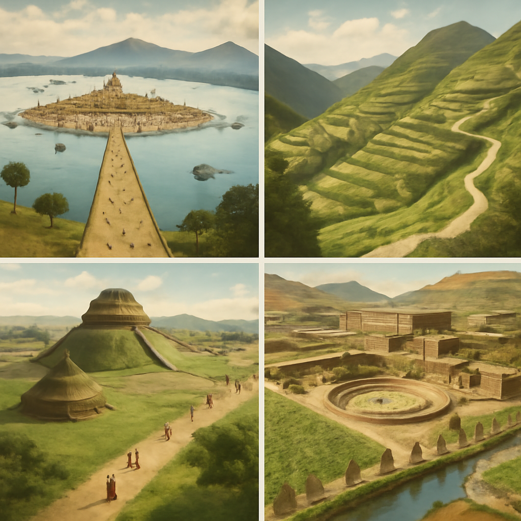
- Monte Alban
- Type
- City Foundation
Monte Alban became a political, ritual, and defensive center for Zapotec power.
The city broadens the Americas route beyond the later Maya and Aztec worlds.
Follow the threads from Monte Albán to see how early urban experiments shaped later histories across Mesoamerica.
Background
The Oaxaca Valley was a landscape of long use before Monte Albán rose: fields, villages, craft sites, and ritual places knit together by kinship and seasonal exchange. By the late first millennium BCE, competing impulses shaped life there. Local leaders sought greater control over land, labor, and trade; religious specialists aimed to centralize sacred activities; and communities faced pressures from shifting alliances and the need to secure resources. The hill chosen for Monte Albán offered practical advantages — a defensible vantage, space for planned plazas, and visibility across the valley — but it also carried symbolic weight. Moving political and ritual centers uphill was a way to stage authority, making power visible on the skyline.
Archaeology shows planned terraces, monumental platforms, and terraces sculpted out of the hillside. Yet these material traces do not speak alone. Oral memory, the corporate practices of valley communities, and the entanglements of diplomacy and labor all help explain why a hilltop city was viable and persuasive. No single cause explains Monte Albán’s founding; rather, leaders navigated a web of competition, opportunity, and the long work of building consent. Monte Alban deserves a richer frame because it makes early urbanism in Mesoamerica visible before the more familiar Aztec and Maya stories. The hilltop city gathered people, labor, ritual, defense, trade, and political authority in the Valley of Oaxaca, turning landscape into a platform for shared and contested power.
The site also teaches readers how historians work without a continuous written narrative. Terraces, tombs, plazas, carved stones, settlement patterns, ceramics, and regional survey evidence reveal how Zapotec communities organized hierarchy, ritual, agriculture, and inter-valley connection. The city is therefore both an event in political history and a method lesson in archaeology.
The Turning Point
The founding of Monte Albán was a decisive change in how the Zapotec organized space and governed people. Rulers and their allies chose a commanding ridge and set about rearranging settlement patterns: constructing plazas, temples, and residential terraces that concentrated political and ritual life. This deliberate urban project required labor mobilization, new administrative practices, and diplomatic moves to persuade or compel nearby communities to participate. For the communities of the Oaxaca Valley, the decision meant altered obligations — contributions of labor or goods, new ceremonial calendars, and closer monitoring by officials. The hilltop site also sent a message to rivals: a visible claim to regional dominance and a place from which to watch movements across the valley.
Choices mattered on the ground: where to place a plaza so ceremonies could be seen by more people; how steep a retaining wall needed to be to create a formal platform; which relatives or clients to install as local agents. Those tactical acts turned a promontory into a capital. At the same time, the founding was contested in subtle ways: oral histories, everyday resistance, and negotiations over land and authority would continue to complicate the apparent unity of a monumental center. The turning point was the move from dispersed communities toward a planned civic and ceremonial center. Founding Monte Alban changed where power was seen, where ritual gathered people, and how elites could coordinate labor, defense, and regional claims.
Consequences
In the near term, Monte Albán became a political, ritual, and defensive heart for Zapotec power. Concentrating temples and administrative spaces transformed how rituals were performed and how decisions were announced and enforced. The city’s visibility reinforced rulership; its plazas and monuments provided stages for ceremonies that bound elites and subject communities into renewed frameworks of obligation. Over decades and centuries, the urban center attracted craft specialists, traders, and diplomatic envoys, extending Zapotec influence beyond the immediate valley. Long-term, Monte Albán expanded the map of early urbanism in the Americas, showing that complex, centralized centers existed outside the later Maya and Aztec spheres.
Its terraces, plazas, and public architecture influenced subsequent urban developments across the region and changed trade and diplomatic routes. Yet these broad outcomes rested on local negotiations: law, labor, and memory all played roles in creating durability. Interpretation remains contested because different types of evidence tell different stories — monumental inscriptions and architectural layouts suggest rulership and ideology, while household remains, burial patterns, and later oral traditions reveal how communities experienced and resisted that rule. Monte Albán’s legacy is therefore both a story of centralized authority and a tale of ongoing negotiation between rulers and the valley’s many communities.
The city's afterlife runs through centuries of Zapotec political development, rivalry with neighboring centers, tomb traditions, writing, calendar systems, and modern Indigenous heritage. Treating Monte Alban as a long-lived urban experiment keeps the page from reducing it to a ruin or a date.
Interpretation Notes
Interpretations of Monte Alban Founded depend on whose evidence is centered: rulers and official records, affected communities, oral memory, archaeology, law, diplomacy, labor, and later public memory do not always tell the same story.
Why Keep Reading
Follow the threads from Monte Albán to see how early urban experiments shaped later histories across Mesoamerica. The city’s rise helps explain patterns of monument building, administrative innovation, and ritual performance that reappear in different forms in later polities. Reading the events that follow — conflicts, diplomatic marriages, shifts in craft production, and changing burial practices — reveals how a hilltop capital could influence trade, warfare, and memory networks. If you want to understand how power became visible on the landscape and how ordinary people adapted to, contested, or negotiated new orders, the next chapters of Oaxaca and wider Mesoamerica will show those processes unfolding in concrete, sometimes surprising ways.
Continue to Olmec centers, Teotihuacan, Classic Maya city-states, and Indigenous Americas routes. That path helps readers compare different forms of city power across Mesoamerica.
Reading Path
Follow the story without losing the thread
Before This
- Chavin Culture Flourishesc. 900 BCE
- Olmec Centers Flourishc. 1200 BCE
After This
- Nazca Lines Createdc. 200 BCE-600 CE
- Teotihuacan Reaches Its Urban Peakc. 450 CE
- Tula and Toltec Power Flourishc. 950 CE
Same Period
- Olmec Centers Flourishc. 1200 BCE
- Chavin Culture Flourishesc. 900 BCE
- Nazca Lines Createdc. 200 BCE-600 CE
Wider Timeline
Mind Map
How to think about Monte Alban Founded
defensible hilltop
Choice of elevated ridge offered surveillance and defense for a new political center
Map Layer
Where this event sits geographically
Gold pins mark the approximate locations of published event pages. This is a schematic locator map, not a historical border map.
Coordinates are approximate and are used to help readers orient themselves before opening a full event page.
References
Where to Check the Facts
- Encyclopaedia Britannica: Mesoamerican civilizationReference for Mesoamerican chronology, cities, religion, trade, and political systems.
- Encyclopaedia Britannica: AztecReference for Aztec political expansion, Tenochtitlan, and the Triple Alliance.
- The Metropolitan Museum of Art: TenochtitlanMuseum reference for Mexica urban power, Tenochtitlan, and pre-Columbian imperial context.
- Encyclopaedia Britannica: The Spanish Conquest of the AztecsReference for the Spanish conquest, alliances, Tenochtitlan siege, and Indigenous context.