At a Glance
The shape of the event
- Date
- 1698 CE
- Place
- Mombasa
- Type
- Siege and imperial reversal
Mombasa and other coastal positions moved away from Portuguese dominance and into a new western Indian Ocean political order.
The event shows that Indian Ocean history after 1500 was not simply European expansion; Asian and African actors also remade the map.
If this seizure of Fort Jesus in 1698 reframes the late seventeenth-century Indian Ocean, it is worth following what happened next: the politics of Omani influence along the Swahili Coast, how trade routes and port ec...
Background
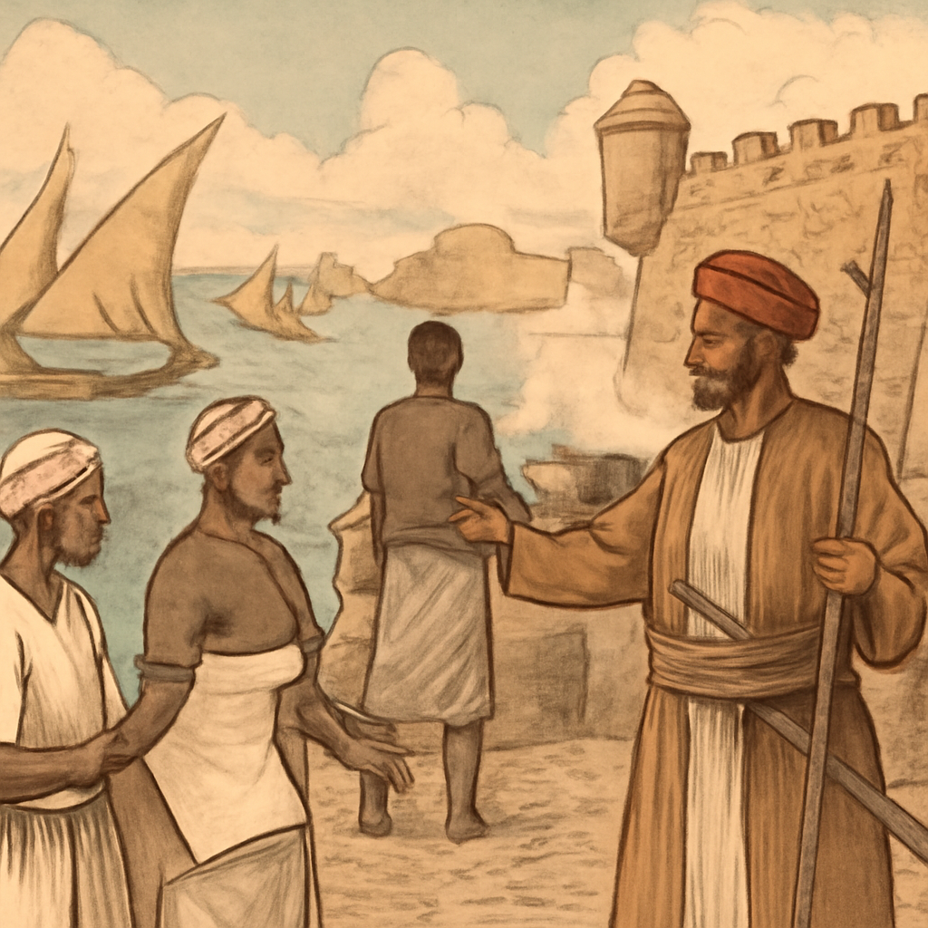
Mombasa in the late seventeenth century sat at a crossroads of trade, faiths, and competing ambitions. For over a century the Portuguese had maintained Fort Jesus as a linchpin of their presence on the Swahili Coast, using naval power and fortified positions to project influence across ports and sea lanes. At the same time, Oman—an Arab maritime power with long ties into the Indian Ocean—built its own naval capacity and regional alliances. Pressure on Mombasa was not the product of a single cause: it combined maritime rivalry, local politics among Swahili towns, shifting trade routes, and the logistical strains of holding remote fortifications.
That complexity matters because it prevents flattening the story into a simple binary of European advance versus local passivity. The capture of Fort Jesus was the immediate result of sustained contestation, and it was shaped by choices made over years by commanders, merchants, and coastal communities who navigated competing loyalties and opportunities. The Mombasa page becomes more compelling when Fort Jesus is treated as both stone and symbol. Built by the Portuguese at the edge of the Swahili Coast, it guarded a harbor, stored supplies, housed soldiers, and announced a claim that sea power could discipline coastal cities. But a fort also depends on food, allies, morale, disease conditions, and communication with distant commanders.
Omani power did not arrive from nowhere. The Yaruba imams built naval strength after driving the Portuguese from Muscat, and they understood that East African ports were tied to Gulf, Red Sea, Gujarati, and western Indian Ocean commerce. Local Swahili elites, merchants, and towns made choices inside that rivalry, sometimes inviting, resisting, or bargaining with outside powers.
The Turning Point
The siege and fall of Fort Jesus in 1698 crystallized a reversal that had been building for decades. Omani forces—motivated by strategic interest in controlling coastal ports and by ties to Indian Ocean commerce—laid siege to the Portuguese garrison that defended the fort. The defenders held a fortified, symbolically charged position, but the long struggle exhausted resources, will, and external support. When Omani troops took the fort, they removed the most visible instrument of Portuguese authority on the island. That single military success had immediate, concrete consequences: a change of control over a major port; the displacement of a European garrison; and a signal to other towns and seafarers that the balance of power along the Swahili Coast had shifted.
The event was not an isolated eruption but a turning point where persistent strategy, naval capability, and local alignment produced a decisive outcome. The turning point was a siege that exposed the limits of Portuguese distance. Fort Jesus could delay defeat, but it could not by itself restore supply lines, rebuild alliances, or reverse the wider weakening of the Estado da India. When Omani forces took the fort, they removed the most visible Portuguese anchor on that part of the coast. The event also shifted the political imagination of the coast. It showed that European fortification was not irreversible and that Indian Ocean actors could roll back Iberian positions with ships, siege pressure, and local knowledge.
Consequences
In the near term, the capture of Fort Jesus weakened Portuguese capacity to dominate the East African littoral. Control of Mombasa—and the credibility that control conferred—moved toward actors linked to Oman, altering patterns of political authority along the coast. Over a longer span, the event contributed to a reconfiguration of the western Indian Ocean: trading networks, diplomatic relationships, and the projection of maritime power adapted to a new set of regional actors. Equally important is how the episode complicated narratives of global history. Rather than confirming a one-way story of European expansion, the expulsion of the Portuguese from Mombasa shows how Asian and African actors seized, contested, and remade the map of influence after 1500.
Those broader consequences unfolded unevenly—some coastal towns aligned with new patrons, others pursued autonomy or different commercial strategies—and they were mediated by local communities whose decisions and memories shaped later claims and state-building efforts. Omani influence did not create a simple liberation story. New forms of authority, taxation, elite competition, and later struggles over Mombasa and Zanzibar followed. Some coastal groups gained room to maneuver; others found themselves negotiating with a new dominant power. The western Indian Ocean remained plural, commercial, and contested. For world history, 1698 is useful because it interrupts a lazy expansion narrative. After 1500, Europeans did not simply advance everywhere.
Their power could be checked by Asian and African states, port politics, environmental limits, merchant coalitions, and the old geography of monsoon trade.
Interpretation Notes
Oman Expels Portuguese from Mombasa is easy to flatten into one dramatic date. A stronger reading separates immediate action from deeper causes, affected communities, and the memory later states or movements built around the event.
Why Keep Reading
If this seizure of Fort Jesus in 1698 reframes the late seventeenth-century Indian Ocean, it is worth following what happened next: the politics of Omani influence along the Swahili Coast, how trade routes and port economies adapted, and how coastal societies remembered and repurposed the episode in later state formations. Tracking related sieges, treaties, and commercial shifts will show how a single military event connected to migration, urban change, and the making of regional orders. Read the timelines and linked entries to see the ripple effects of 1698 across a century of port politics and maritime rivalry. Read this page with Kilwa, Malacca, Muscat, Zanzibar's clove economy, and Indian Ocean trade routes.
The sequence shows how forts, ports, monsoons, merchants, and local alliances made empire reversible.
Reading Path
Follow the story without losing the thread
Before This
- Malacca Falls to the Portuguese1511 CE
- Portuguese Capture Kilwa1505 CE
- Vasco da Gama Reaches India1498 CE
After This
Same Period
- Portuguese Capture Kilwa1505 CE
- Malacca Falls to the Portuguese1511 CE
- Vasco da Gama Reaches India1498 CE
Wider Timeline
Mind Map
How to think about Oman Expels Portuguese from Mombasa
Maritime rivalry
Competition over sea lanes and ports created sustained pressure on Mombasa's defenses
Map Layer
Where this event sits geographically
Gold pins mark the approximate locations of published event pages. This is a schematic locator map, not a historical border map.
Coordinates are approximate and are used to help readers orient themselves before opening a full event page.
References
Where to Check the Facts
- Encyclopaedia Britannica: MombasaReference for Mombasa's coastal history and Fort Jesus setting.
- Official UNESCO World Heritage Centre: Fort Jesus, MombasaReference for Fort Jesus as a strategic Indian Ocean fortification.